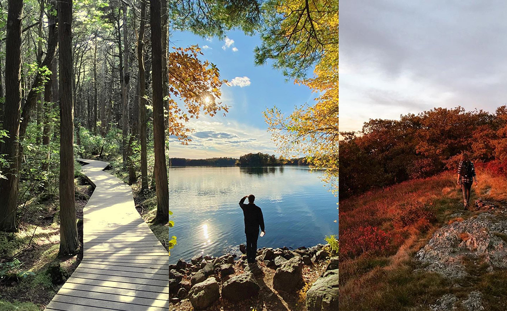
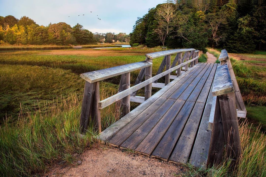
We’ve covered the most popular Instagram tourist locations in Martha’s Vineyard, Cape Cod and Nantucket; where do people go in Massachusetts when they want some peace and quiet, and to reconnect with nature?
We collected some Google search data to find out. We used a search engine optimization tool called Ahrefs, which estimates how many people are searching any given term a month, and used it to look up hundreds of mountains, preserves, trails and other hikable places in
Massachusetts. For fun, we also tallied up how many times each of these locations have been Instagrammed all time.
We’re not content just spitting out data at you, so we also talked to several local hiking experts for their experiences and tips on each location, and also selected geo-tagged photos for each place on Instagram (asking each photo-taker for their permission, of course).
Our Massachusetts hiking experts are:
Ken Cohen, Friends of the Blue Hills
Alexander Gillman, West Region Interpretive Coordinator, Massachusetts Department of Conservation & Recreation
John Bescherer, Friends of Myles Standish State Forest
Chester Osborne, Friends of the Fells
Dave Dobrindt, Board Member, Friends of the Blue Hills
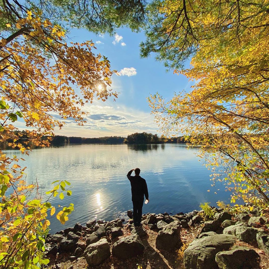
1. Walden Pond
Monthly Searches: 31,000
Instagram Posts: 32,000
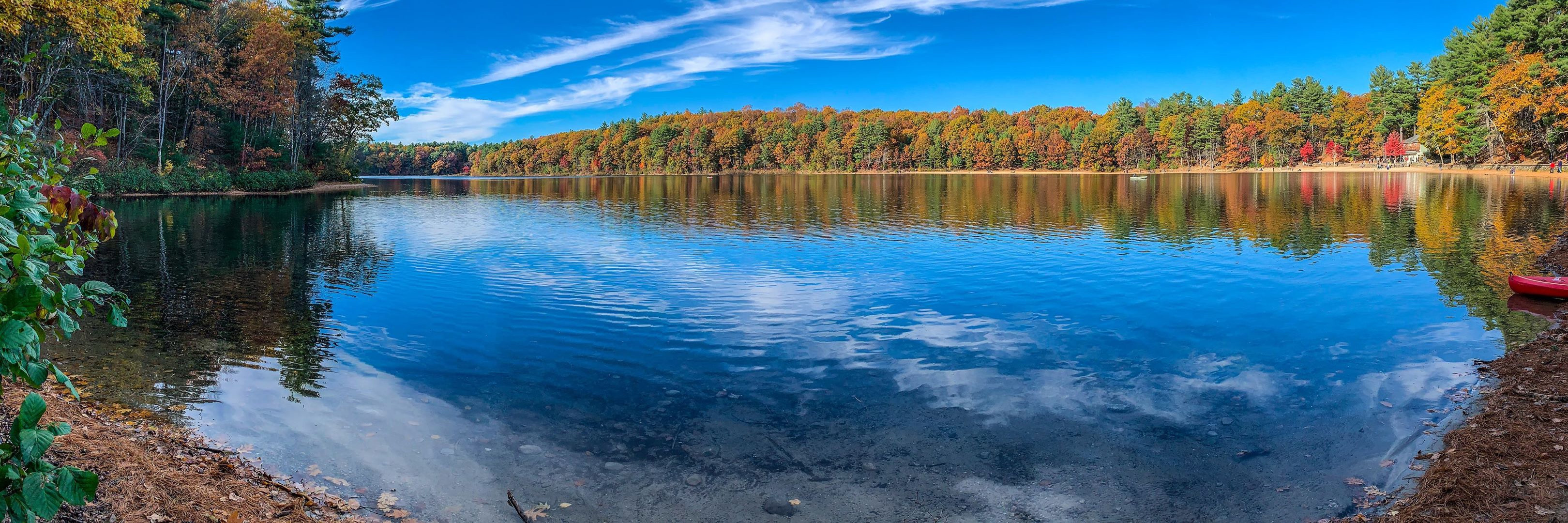
Alexander: Another great place for walkers, not so much hikers. There’s a visitor center and of course Henry David Thoreau’s cabin. Thoreau’s work is the perfect lens to explore the larger ideas and meanings behind walking (or hiking). It’s right by a busy Route 2, and you could drive by it and not know about it. Tens of thousands pass by it weekly. Some of the things he wrote about, like living simply, civil disobedience and environmental justice come to mind today when you visit there. It’s where you have access to the nature, and to the resources that sustain us. We can only do that through our individual ways of learning, inquiry. It’s the only way we learn to explore the world around us.
2. Bash Bish Falls
Monthly Searches: 8,000
Instagram Posts: 26,000
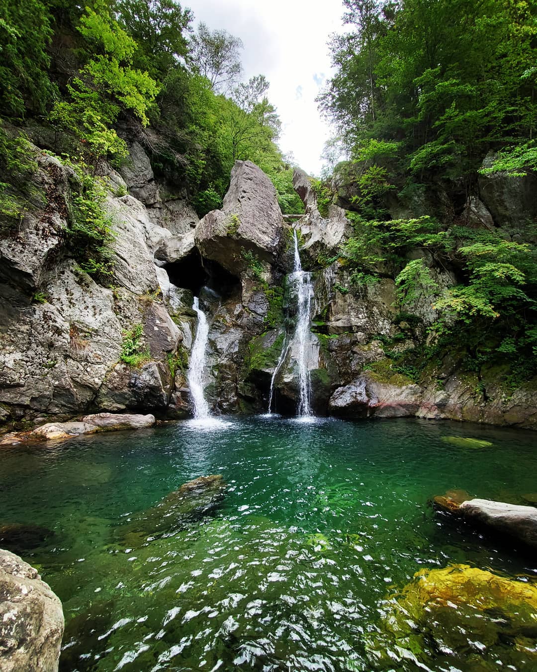
Alexander: One of the top hits for searches on our website. Everyone wants to go swimming there, but it’s a place to enjoy looking at the falls, maybe scrambling on some of the rocks on the base of the falls. We had posted closed trails last year, but unfortunately people want to explore that place more than what they’re capable of doing. Most people come via Taconic State Park, where there’s a great place to camp across the border at Copake Falls. You can hike the three quarter miles over to Bash Bish and enjoy the falls. Henry David Thoreau took an interstate walk in 1844 off into New Hampshire and across Massachussetts, and he visited both Mount Greylock and picked up his friend in Pittsfield, they want to Kaaterskill, and they stopped at Mount Everett and Bash Bish on the way back. The nest year, he did his experiment at Walden Pond in 1845. Maybe something to ponder for visitors: do your own exploration and set your own life goals and experience them through these varied explorations. Take a vacation, take a few days.
3. Cape Cod National Seashore
Monthly Searches: 6,400
Instagram Posts: 30,400
Last year, we published an article about Cape Cod’s Most Instagrammed Places, many of which are on or near the National Seashore.
Ken: When I think about my walks there, and my experiences there; it’s an endless looking expanse of sand and surf, with spectacular views.
Alexander: The visitor center at Salt Pond is the place to go if you want to get oriented. It’s the place to go if you want to know where to access the national seashore. They have some easy trails around there, there’s a historic home that you can walk around. I would suggest that, it’s in Orleans I think.
4. Blue Hills Reservation
Monthly Searches: 5,200
Instagram Posts: 58,500
Ken: Blue Hills has very well marked trails. There’s a fabulous map of the Blue Hills that you can get for $3 at the headquarters. It touches on six different cities and towns: Braintree, Canton, Milton, Quincy, Randolph and Dedham.
I always knew it was there, because there’s a ski area there on Great Blue Hill; I’d drive on the highways nearby and see people skiing at night. I had a friend who convinced me to go on a hike with an organization called the Adult Walking Club, which is sponsored and run by the MA Department of Conservation and Recreation (DCR). That’s what got me started, getting into the Blue Hills, and seeing how beautiful they are, how full of nature it is, how challenging it can be.
It’s an amazing place. People train on what’s called the Skyline Trail, which traverses the entire reservation. It’s about nine miles long, and ascends and descends about 16 peaks. People train for some of the tallest mountains in the world on the Skyline. It’s very rugged and steep, very challenging.
Another favorite is the Skyline Loop, which is just a piece of that Skyline Trail. It’s only about three miles, but it takes a good two plus hours, but very steep and covers about six peaks.
If you wanted another trail that is about five miles long, very scenic, but not too challenging, there’s a pond called Ponkapoag Pond. It’s a trail that circumvents a very large pond on one of the extremities of the Blue Hills. It takes about two hours to do the loop, very pretty, and you’re in the woods and get a feel for the nature. There’s a particular hill that has a fabulous view, about a 270 degree view, called Buck Hill. From the summit, you can see all of Boston, the entire city, the inner harbor, outer harbor, and Boston’s many harbor islands.
Another interesting point about the Blue Hills is that they’re 400-500 million years old. Formerly volcanic; not like Vesuvius, but there are tons of magma remnants all over the hills. They were frequented by Native Americans in the time of the European invasion, and many would hunt there on a regular basis. Many artifacts have been pulled out of the ground there.
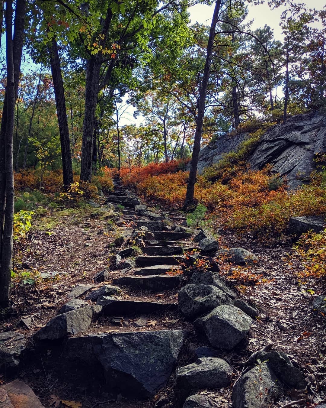
Another interesting fact is that the Civilian Conservation Core created by FDR sent hundreds of workers into the hills to create trails and stairways that still exist to this day. There was actually a CCC camp up in the hills where they stayed year-round to work. Right now there’s a marker where the camp was, but the best way to get a feel for what they did is to ascend Great Blue Hill, and you can see how much hard work had to go into building the granite stairs that were put in. and you’re going up and down these granite stairs that were put in. you can see how much work had to go into doing that.
After you hike, there’s a place called the Blue Hills Grill which is pretty popular. There’s also the Trillium Brewery in Canton. There’s also the Trailside Museum, which a popular spot for families.
Dave: If you’re coming here once, you gotta go to Buck Hill. We have 22 hills and four big bills, and Buck Hill is about 580 feet. It’s nothing compared to the Adirondacks or Catskills, it’s a bump, but it has a 360-degree unobstructed view. Getting up there is really fun. I tell people to take the Skyline Trail. It’s the main hill that people take. It’s fairly technical to get there, and you can do it in just a couple of hours. The summer before last, the peak of the eclipse was 10 in the morning, there must have been 100 people on top of Buck Hill.
5. Mount Greylock State Reservation
Monthly Searches: 3,800
Instagram Posts: 4,366
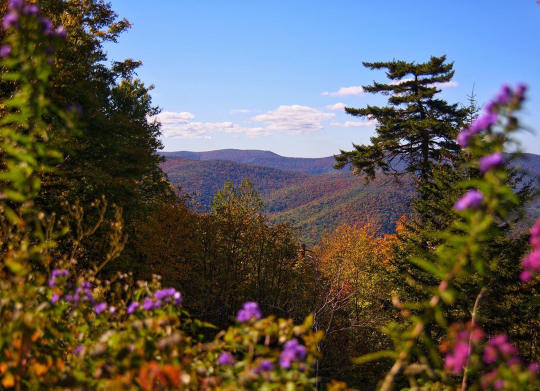
Ken: It’s located in the Northwestern part of the state and is the highest peak in Massachusetts, I’ve been to the summit a number of times. It’s a very challenging hike if you’re going to the summit, but there’s also a fabulous auto road with views along the way.
Alexander: That’s my baby. We have 70 miles of trails there. Kind of the Western observatory of Massachussetts. There’s a War Memorial at the summit, numerous trails that are popular. The Ghoul trail and Money Brook are also excellent trails.
Stop at the visitors center in Lainesborough. One of the highlights is to get that preliminary view of what you’re going to experience so you can appreciate it better. Absolutely pick up a trail map there. Remember to explore the parts in between. Everyone wants to go to the summit, but there are places like Stony Ledge, amazing view of the glacial history, and then the Hopper Trail is a wonderful way to enter the realm of Greylock and see the waterfalls. Backpack camping is another highlight. Shedding the vehicle and simplifying your camping gear, getting it down to essentials while staying safe.
Aftewards, a lot of people like to go to the Old Forge to get wings. But that’s among many other places, there’s also Mass Moca in North Adams, don’t forget downtown Adams.
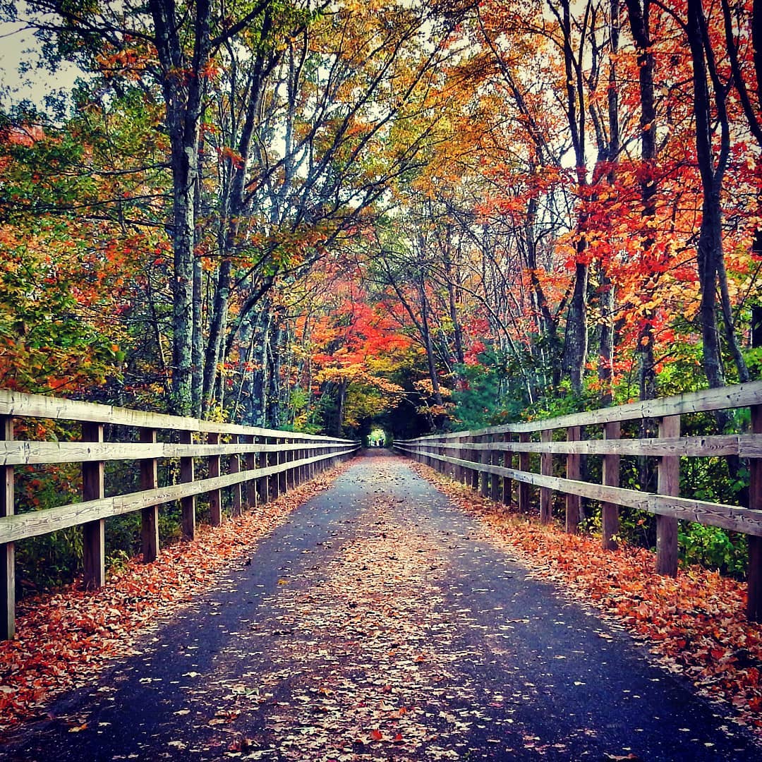
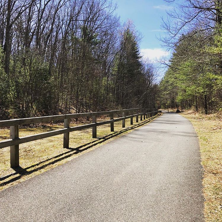
6. Cape Cod Rail Trail
Monthly Searches: 3,600
Instagram Posts: 3,240
The Rail Trail is the 51st Most-Instagrammed place in Cape Cod.
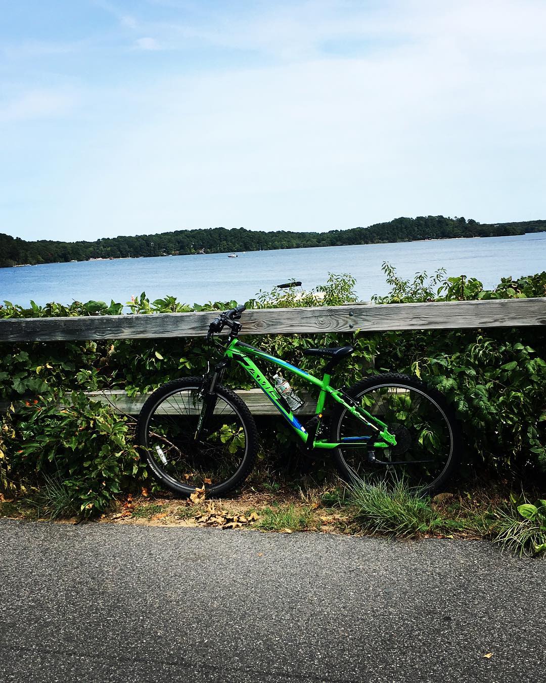
Ken: It’s fantastic for cyclers; I believe it starts in the Hyannis region. I’m not a huge cycler, but when I do cycle, that’s the kind of trail I like to be on, as opposed to street cycling.
Alexander: Great level trail to explore cape cod. it goes through Nickerson state park, which has very popular camping.
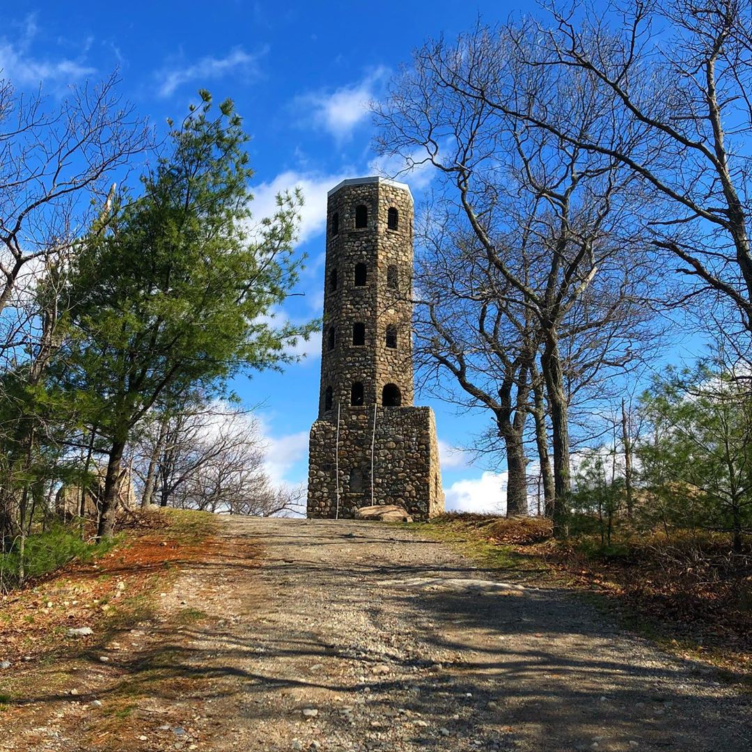
7. Middlesex Fells Reservation
Monthly Searches: 3,100
Instagram Posts: 40,400
Alexander: Like Great Blue Hills, just outside Boston. It’s an increasingly popular place, and local communities are connected to it in offering local programs in addition to what DCR offers for programming. The Sheepfold Path is a great place to go with your dog. There are two observatory towers there that are great to climb. The Wright Towers are this rustic stone tower that looks down over the Boston skyline.
Chet: It’s a very large area, about 3,000 acres. It’s just a few miles from downtown Boston. I can go trail-running on very robust trails there and it feels like you’re in the white mountains of New Hampshire. I walk back to my house in middle America, then 30 minutes later I’m on my bike and at my office in downtown Boston.
The Fells are accessible by the MBTA. There are several buses that drop off to it, or you can easily take a subway and a last-mile Uber to any of the trailheads. For people that get around with public transportation, it’s a place you can get to.
If you were going for the first time, I would tell you to do the Skyline trail. I think it’s 6.7 miles. It’s a robust 2.5 to 3 hour hike depending on your level of fitness, it’s an arduous hikes with dozens of great views. You go through wooded areas, rugged sections that may require some low-level scrambling. Often used by a lot of locals as a training hike for the White Mountains.
There’s also Bear Hill Tower, which has great views of Boston.
Friends of the Fells is a Friends of Organization to help with the Fells with conservation. We have to make sure it’s here today and functionining today, and stay around for future generations. We want to protect the park from development, we just won a big fight stopping an ice skating rink. Invasive species are taking over the Fells. There are those that are creeping north as the weather gets warmer, and there are pioneering species that people pick up at Home Depot. The challenge with all of that, is that the invasive species don’t provide enough food for birds, insects and other animals, which impacts the biodiversity at the Fells. We’re working with DCR to do invasive eradication.
8. Mount Wachusett State Reservation
Monthly Searches: 3,100
Instagram Posts: 9,000
Ken: That’s another fabulous peak toward the middle of the state. I’ve hiked up there a couple of times and it’s a very well known spot for people interested in watching the migration of raptors. The birds that will migrate from the north to the south are known to fly over there in great numbers every single year because of the updrafts created by the surrounding area. I’ve been to the summit during the migration and counted 50+ raptors; bald eagles, hawks and falcons.
Alexander: That’s the observatory for the middle part of the state, and you can see the Boston skyline from there, even though it’s 50 miles away. There are a number of trails, and nice new interpretative exhibits at the top that explain what you’re looking at, and tie in a story and sense of place. There’s also an adjacent ski area that’s kind of interesting, an old connection too.
9. Myles Standish State Forest
Monthly Searches, 2,600
Instagram Posts: 3,763
Ken: This is probably the largest designated forest in the state. I believe it too is overseen by the DCR. It’s huge, a tremendous forest, mostly conifers, pine trees, with many hiking and biking trails. It’s a popular spot for a lot of people
John: There’s a map of the park that was put out three years ago that really shows the marked trails in the forests. I think there are five main marked trails. There’s an eight mile pine barrens path, there’s a three mile friends trail, there’s a five mile pond loop, and Frost Pocket trail is one mile. There are sixteen ponds in the park of various sizes. The pine barrens are considered unique, as the third-largest tract of pine barrens in the U.S.
The park is the size of Manhattan. If you look at a map of Eastern Mass, and you see the blob for Myles Standish, it’s really quite large. There’s 400 campsites, it’s very popular in the summertime with campers and kayakers. There’s no running water, there’s 16 ponds. There are lakes and beaches that are lifeguarded at various times.
10. Harold Parker State Forest
Monthly Searches: 2,600
Instagram Posts: 8,753
Alexander: It has some very historic spots in it that go back to the 18th century, it has lots of stories to tell. Numerous ponds that offer a break in the woods to kind of sit and contemplate.
11. Bruce Freeman Rail Trail
Monthly Searches: 1,400
Instagram Posts: 1,353
Dave: It was impressive that they got funding to build a bridge for the rail trail over a parkway. For a trail like that, that spans multiple communities and has government support to pay for such a structure, shows how much support they have.
12. Nashua River Rail Trail
Monthly Searches: 1,000
Instagram Posts: 1,041
13. Mount Watatic
Monthly Searches: 1,000
Instagram Posts: 877
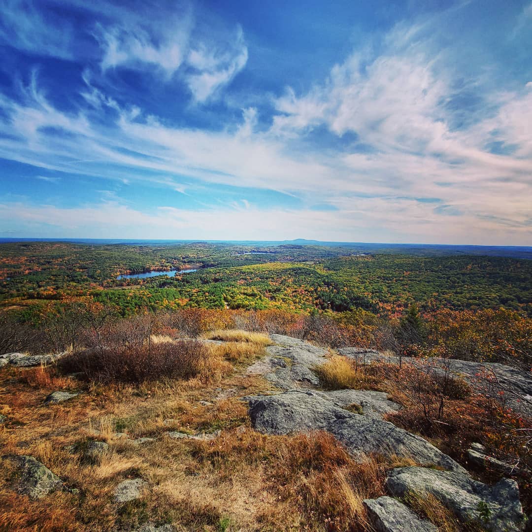
Alexander: “Wah-tate-ic.” It’s kind of like Wachussett. Kind of an isolated, granite, eroded upswellings from the bedrock. Sort of an unknown, growing in popularity. It’s a great place to rise above the landscape. It’s a short challenging hike, with a great return. It’s got a bald summit, so you can get a good view.
Like this article? Check out our similar guides for New Hampshire and Maine!
14. Appalachian Trail Massachussetts
Monthly Searches: 900
Instagram Posts: N/A
Alexander: 90 miles of it. It crosses the Southern Berkshires, and it has towns that are sort of designated trail towns, like Dalton, Cheshire and Great Barrington. The southern Berkshires it crosses through East Mountain State Forest, and there’s like a 60 foot deep chasm, it’s a spectacular feature, I think it’s called Ice Gulch. It also crosses Mount Everett.
15. Monument Mountain
Monthly Searches: 800
Instagram Posts: 3,821
Alexander: It has this exposed cliff, great views of the southern Berkshires. There is a fee to park there and access it. It’s a very popular trail. The Parking lot is always full. It’s always good to visit on the off-times.
16. Purgatory Chasm, MA
Monthly Searches: 800
Instagram Posts: 1,591
Alexander: Another ice gulch in the east. Sort of a fabulous fractal chasm that you can walk through. The walls are over 60 feet high. There are some interesting places to sort of crawl through if you have the capability. There’s a visitor center too. It also has sort of a playground for a younger audience where they can get their climbing in without having to go all out on the chasm. It tries to create a safer experience, get the kids energy out. It’s a fabulous natural wonder. There’s one little crevice called Fat Man’s Misery that you can squeeze into if you have the dimensions. It’s kind of an interesting sensation to get into those crevices safely.
17. Horn Pond
Monthly Searches: 700
Instagram Posts: 16,800
18. Great Brook Farm State Park
Monthly Searches: 700
Instagram Posts: 1,340
Alexander: That’s popular with mountain bikers, not just hikers. It’s rolling terrain like Harold Parker, it’s west of there. Run in conjunction with a dairy farm. They have this automatic milking system set up that the cows enter into that’s compelling to watch, and there’s an ice cream stand that’s hugely popular.
19. Bay Circuit Trail
Monthly Searches: 700
Instagram Posts: 95
Ken: That trail is over 200 miles in length, and it’s actually a crescent that goes from Northern MA to Southeastern MA and touches many cities and towns. It’s good for for both hiking and cycling.
Alexander: Circumnavigates Boston, it ties in a variety of conservation lands, either privately or municipally or state-owned. It’s a fantastic variety of terrain. Theoretically, you can backpack all 70 miles of it. I worked on the northern section. You can hike from Northern Coast to Southern Coast, or just do sections of it. Each individual section has its own guidebook, so it helps give you those direct roots, and also those ancillary connecting roots. You can make a day of it or a week of it or more.
20. Ashuwillticook Rail Trail
Monthly Searches: 700
Instagram Posts: 1,782
Alexander: 12 mile rail trail right here in the Hoosick River Valley, it runs alongside a Cheshire reservoir with a beautiful panaromic view of Mount Greylock. It goes through a variety of habitats, starting with the headwaters, the lake, the swamp. It starts in an industrial area, ends up in Adams. The cool thing is that it’s an ongoing project, so it’s theoretically going to be expanded south through Pittsfield and north through the Vermont border through Williamstown.
21. Mount Everett
Monthly Searches: 700
Instagram Posts: 942
Alexander: Pretty good view from the top to the west, looking at the Catskills, east and west looking out over the Berkshires over at Mount Greylock. Numerous writers have visited it just like Mount Greylock. Scientists like Edward Hitchcock and Catherine Sedgwick visited it. You can drive up to Gilder Pond, or you can hike it from one of the base trailheads, It has scrubby oak at the top so it gives you some great views, and it has some glacial scowering.
22. Mount Misery
Monthly Searches: 500
Instagram Posts: 1,894
23. Lynn Woods Reservation
Monthly Searches: 500
Instagram Posts: 929
Alexander: A municipally-owned reservation. I used to work in Lynn. It’s got over 3,000 acres, very popular with mountain bikers, has a lot of exposed granite. You can circumnavigate it and hike it easily in a day, and it’s so close to an urban setting but you feel like you’re out in the middle of nowhere. The history attached to it is that there’s Dungeon Rock there. Tom Veal, a supposed pirate in the 17th century buried some gold there, and a spiritualist in the 50s decided to dig this tunnel into solid rock that goes 80-100 feet into the rock. Couple of different access points, but Penny Brook is the most popular one.
24. Robert Frost Trail
Monthly Searches: 500
Instagram Posts: 562
Alexander: It goes through the Mount Holyoke Range State Park in my region, I haven’t really hiked it, but it’s another one of those long-distance trails inspired by Robert Frost and his experiences in the Connecticut River Valley. I don’t know much about it because I haven’t really hiked it.
25. Race Brook Falls
Monthly Searches: 450
Instagram Posts: 2,008
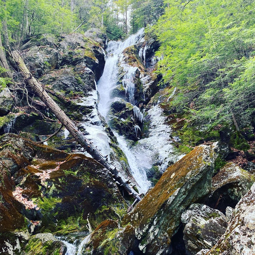
Alexander: That’s on the edge of Mount Washington State Forest, which is also part of Mount Everett State Reservation. That’s a popular hike, but it can also be dangerous too. People sometimes get a little too close to the edge. It’s easily accessible from Route 41 in Sheffield.
26. Alander Mountain
Monthly Searches: 450
Instagram Posts: 1,440
Alexander: That’s on the other side of Mount Washington State Forest, that’s on the Western flank. It’s cool because it has a bald summit, there’s also a rattlesnake habitat and you may see one. One of the few habitats where they live, they’re kind of shy. If you look at that part of Massachussetts, that Southwestern corner; there’s Mount Everett, Mount Washington, Jug Head, and then the most popular Bash Bish Falls state park.
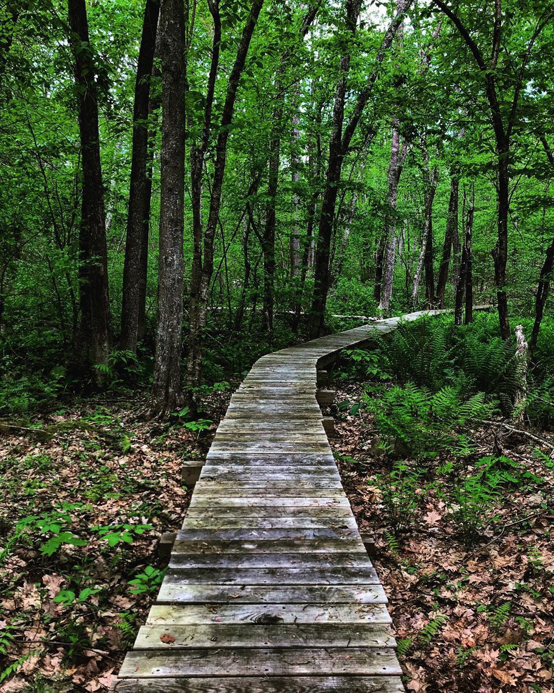
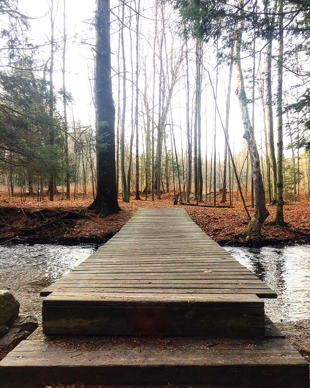
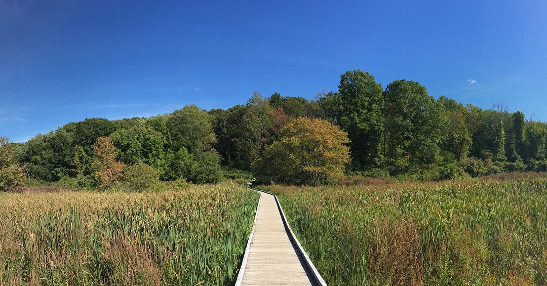
27. Atlantic White Cedar Swamp Trail
Monthly Searches: 400
Instagram Posts: 474
Alexander: In Douglas State Forest. It’s a boardwalk going through a swampy area. We walk through the woods, but when you walk through that cedar swamp it’s like a different world.
28. Battle Road Trail
Monthly Searches: 350
Instagram Posts: 385
Ken: It has a tremendous amount of history and touches on many historical places.
Alexander: I did that as a scout, mostly National Park Service. Almost goes right by Walden Pond. The National Park Service over the length of its ownership has been trying to revert it back to the 18th century landscape. They’ve taken all these modern homes that were built in the early part of the 20th century, and progressively bought the properties, tore down the houses, and restored it to what the landscape would like in 1775, so you can experience that same landscape. Every year, they do a re-enactment on Patriots Day, where living history folk dress up in period costume and uniform and have a staged reenactment that’s hugely popular. You have to have a stepladder to get over the crowds. 5:30 in the morning, the grenadiers roll into town, and the militia is there to repel them, and it’s kind of surreal.
More about the experts
Ken: I was born and raised in Brooklyn and Long Island, and my parents enjoyed taking vacations to nature-oriented places. I went to Hofstra University, moved to MA in the mid-70s and resided in the Boston metro area since then. I do a lot of volunteer work these days, I’ve been a member of Appalachian Mountain Club for 15 years. I organize hikes on a fairly regular basis, and have done about 15 of them in the last two years. I’m also a member of Mass Audubon Society Trustees of Reservations. Friends of the Blue Hills now has about 1,000 members, and our mission is to protect and preserve the Blue Hills.
Alexander: I actually started off going to school for communication design at Pratt. I was a children’s book illustrator. A friend tipped me off on an opportunity to work as a park interpreter, in the eastern part of the state, at Lynn Heritage State Park. I bumped out to here in Western Mass, and ended up at Mount Greylock State Reservation for 14 years. Interpretation means we make relevant connections between the visitor and resource. Unlike other staff that deal with operations, we are in the visitors’ face. We are leading hikes and tours, making meanings out of the tangible resources connected to big ideas. It was just part of my upbringing, we were always hiking, always in the outdoors, I was in scouts, and we used the state parks system as a resource for that.
More about our experts:
Ken Cohen, Friends of the Blue Hills: I was born and raised in Brooklyn and Long Island. My parents enjoyed taking vacations to nature-oriented places. We moved to Massachusetts in the mid-70s and I’ve resided in the Boston metro area since then. I’ve been a member of Appalachian Mountain Club for 15 years. I belong to the Southeastern Massachussetts chapter, for which I’m a local walks and hikes leader. I organize hikes on a fairly regular basis. I’ve done about 15 of them in the last two years. I’m also a member of the Mass Audubon Society. I’ve been an active member with Friends of the Blue Hills for quite a few years, and have been an ad hoc member of the board for about a year and a half. We have about 1000 members, and our mission is to protect and preserve the Blue Hills, which is about 7000 acres with 125 miles of hiking trails.
Alexander Gillman, West Region Interpretive Coordinator, Massachusetts Department of Conservation & Recreation: I actually started off going to school for Communication Design at Pratt. I was a children’s book illustrator. A friend tipped me off on an opportunity to work as a park interpreter in the eastern part of the state at Lynn Heritage State Park. I bumped out to here in Western Mass, and ended up at Mount Greylock State Reservation for 14 years. Interpretation means we make relevant connections between the visitor and resource, leading hikes and tours.
Chester Osborne, Friends of the Fells: I am a board member and active committee member with Friends of the Fells. I grew up a town away and spent 20 years away in the Army. I bought a house in Medford to be adjacent to the Fells for recreation purposes.
Dave Dobrindt, Board Member, Friends of the Blue Hills: I live in Milton, Massachussetts. The Friends of the Blue Hills is in Milton, and it’s a big part of the community. My daughter was born in 2002, and as she got old enough to walk, we started going to the Blue Hills. We started spending more time there as the kids got older. I love it… the solitude, the pine needles. It started this love affair with trail running. I got to know the directors (of Friends of the Blue Hills), and they approached me about being on the board. I joined in 2015, and in 2018 I was elected as president of the board.